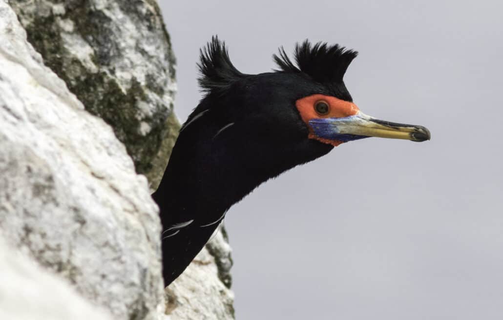
North America’s New Birding Trails
Adapted from an article by MEL WHITE
BWD’s first article on birding trails in September 2001 listed 19 birding trails in the United States and Canada. Since then, at least that number of new trails has created or is being established, and there have been numerous links added to existing trails. The current pace of birding-trail births is quite rapid, and we have compiled this list of all the trails that were not on that original list. Check out a list of birding trails in the U.S.
A brief history of birding trails in the U.S.
For those unfamiliar with the concept of birding trails, here’s a brief history: In the 1990s, public officials and private individuals in Texas increasingly came to realize that the Lone Star State’s popularity with birders translated into a significant economic impact. They knew that if they could make visiting Texas even easier and more inviting, more birders would come, bringing more dollars. For some, the economic issue was enough in itself. Others saw that attracting more birders, and giving them a higher profile, could have great conservation value. That is, state and local officials might be more willing to protect habitats if they knew that people were visiting those habitats to see birds-and in the process staying in motels, buying meals, filling their gas tanks, and shopping.
Hence the creation, in 1996, of the Great Texas Coastal Birding Trail, which uses maps and road signs to link more than 300 sites from the Louisiana line down the Gulf Coast to the Rio Grande Valley. Included are famous destinations such as High Island and Santa Ana National Wildlife Refuge, as well as lesser-known preserves, city parks, and roadside observation points. The notes and directions on the maps serve birders well, pointing the way to spots that might otherwise be overlooked, and that often provide just as many birds, and just as much fun, as the high-profile locations.
Conservation agencies and tourism offices in other states took notice of what was happening in Texas. Florida, Georgia, and Virginia were among the first states to emulate Texas by creating official birding trails, and the list has grown year by year. In some states or regions the process has been spearheaded by local Audubon chapters or other birding organizations, providing expertise to assist a consortium of governmental bodies, including wildlife agencies, tourism bureaus, and highway departments.
All this is good news for birders, since an ever-expanding percentage of North America is being covered by birding trails, with their detailed maps, driving directions, species lists, birding tips, and other travel-friendly features. For a phone call, a stamp, or an Internet click, you can obtain information about the birding trail (or trails) at your destination via a map or brochure. Often the information is free, though some trails charge a minimal fee or request a donation.
Increasingly, the same information found in the printed materials is available on-line, where birding trails post clickable maps, species lists, and other helpful details that you can browse without having to wait for the mail. Because maps and booklets are “not inexpensive to produce,” in the words of one trail coordinator, it’s likely that in the future many trails will be emphasizing access via the Internet over hard copies of their guides. Not only will this save money for trail agencies, it will allow more-frequent updating of site information.