Following a Nature Lover: Birding the Charles Kuralt Trail
On the Road with Charles Kuralt was a familiar television program to most of us, who watched him introduce unique personalities that he found during his travels across America. A slightly rumpled, easygoing nature lover, Kuralt expressed his deep appreciation for the outdoors best at the end of his Sunday morning program with nature scenes of stridently singing warblers or close-ups of waders spearing fish at the edge of a refuge pool. He left us on July 4, 1997, following a battle with lupus and is best remembered for his deep appreciation of birds and wildlife, especially in our wildlife refuges.
In commemoration of Charles Kuralt’s life, a new self-guided auto route, called the Charles Kuralt Trail–On the Refuge Road, snakes through the refuges of coastal North Carolina and southeastern Virginia. The new trail connects Pea Island, Alligator River, Mackay Island, Mattamuskeet, Pocosin Lakes, and Roanoke River refuges, and the Edenton National Fish Hatchery in North Carolina. Back Bay and Great Dismal Swamp refuges in Virginia are also part of the trail.
An audiocassette, guidebook, and maps are available to aid the first-time visitor, and kiosks at the refuges give interpretive information and explain the uniqueness of each refuge. The Kuralt family, the Coastal Wildlife Refuge Society (producer of the audiocassette), the U.S. Fish and Wildlife Service, and Wilderness Graphics jointly developed the On the Refuge Road trail.
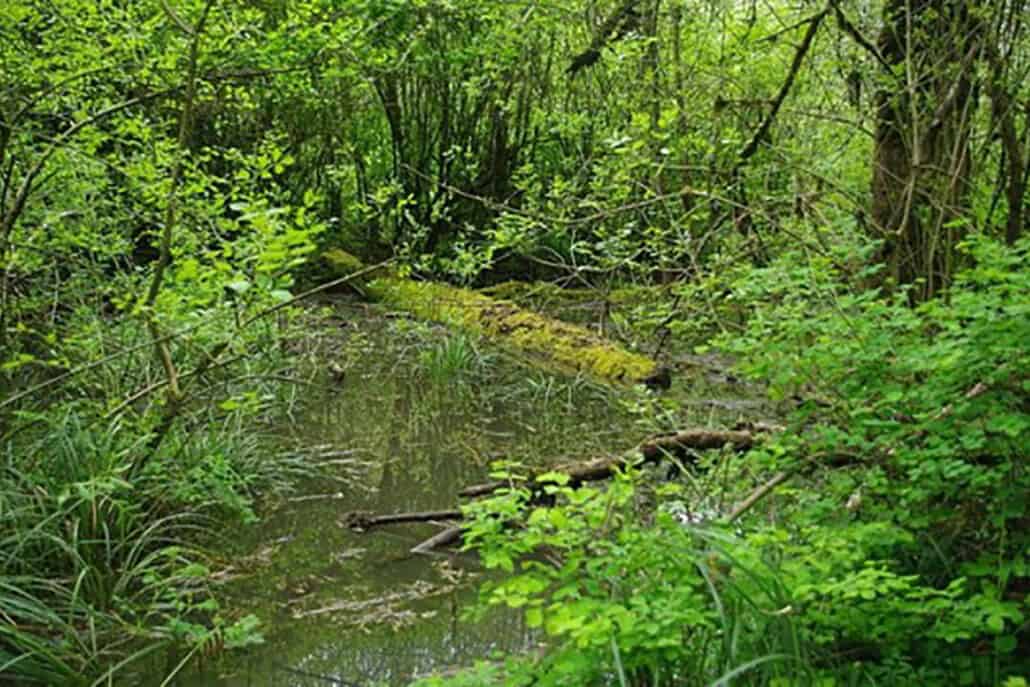
Much of the Charles Kuralt Trail meanders through one of the largest wetland areas in the mid-Atlantic states, called the Pocosin, the water surface of which accounts for better than half of the total area. The Pocosin, an Algonquin Indian term that means “swamp on a hill,” is dotted with many shallow lakes. This habitat supports an immense community of plant and animal life that lives in a swamp or marsh environment and thrives on thick, dense vegetation. Its interior is particularly remote.
The Pocosin low country of North Carolina is steeped in murky legends and mystery. The interior belonged to several regional Indian tribes into the early 1800s. European adventurers and settlers didn’t arrive in the Albemarle from Virginia and Maryland until the early 1700s. Its remoteness, swampy environment, and particularly pesky insects stunted exploration and gave the area the specter of being uninhabitable.
On the coast, however, the Roanoke Island colony was founded in the late 1500s, the site where Virginia Dare, first child of English parents in America, was born. The fate of the Lost Colony remains an unsolved mystery to this day. Later, pirates, reputedly Blackbeard among them, cruised along the coast and made frequent forays inland to maraud the small defenseless villages.
In the mid-1800s, small plantations sprang up when farmers discovered the rich soil along the higher ground of the Pocosin. The growing population slowed dramatically during and after the Civil War as the Pocosin languished with the demise of the plantation farming economy. The logging of vast virgin timber stands across the lowlands rekindled growth at the turn of the century.
Swamps, insects, and oppressive summer heat had a major influence on development over the years that continues today. The region relies mainly on farming, fishing, and, increasingly, tourism to fuel the local economies. Residents enjoy an independent spirit and are proud of their homeland off the beaten path. “Take the Road Less Traveled to a Place Where Time Seems to Move a Little Slower” touts the slogan of Hyde County’s chamber of commerce, which captures the spirit of the area nicely.
The Charles Kuralt Trail passes through a wide variety of habitats, from coastal marshes and maritime forests to wetlands and swamps dotted with small crop fields used by migrating birds. Some refuges are better suited for spring birding, some are better for winter waterfowling, and a few are pretty good for both. Since the On the Refuge Road trail links nine birding sites over roughly 300 miles, it’s important that you choose wisely where to visit and how to allocate your time along the way.
I have separate winter and spring loops that I follow when visiting refuges along the trail so that I get the best seasonal payoff. Both loops start and end in Tidewater, Virginia, close to airports, amenities, and the gateway to other hotspots in central Virginia and Virginia’s Eastern Shore.