Where the waters meet and the birds gather.
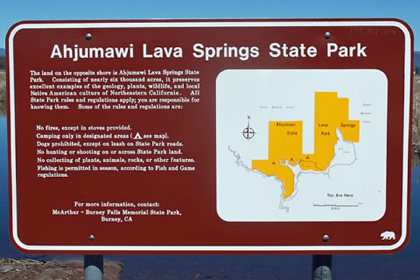
For those in search of isolated destinations where many birds and few people visit, Ahjumawi Lava Spring State Park, California, is the place. Located at the intersection of rivers, lakes, and creeks, this remote area enjoys one of the biggest freshwater spring systems in the country. The name “Ahjumawi” roughly translates as “where the waters come together.” It hosts year-round avian residents, and is an integral stop on the Pacific Flyway for great numbers of migrating birds. While the birds can fly in, our only access is via shallow boat. (There are neither roads nor vehicles here!) This state park only sees 2,000 or so humans per year.
BIRD TRAILS
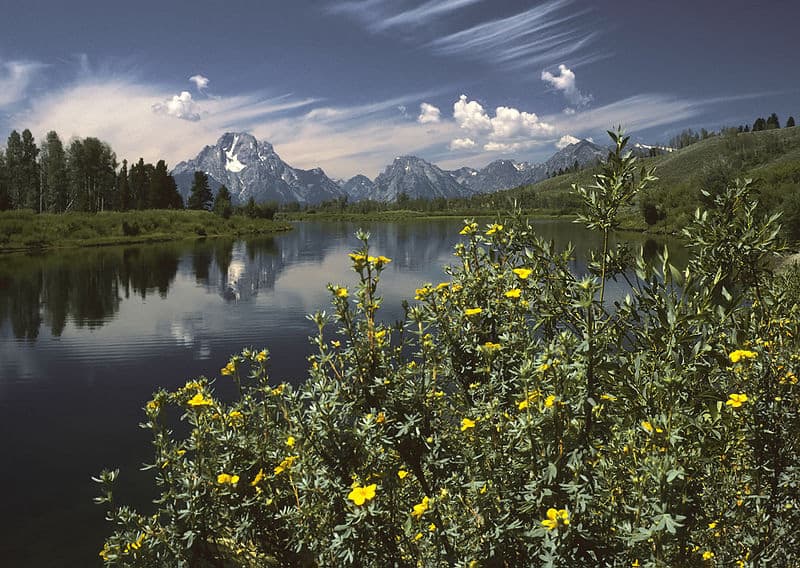
More than 20 miles of trails wind through the primeval landscapes in this 6,000-acre California state park. Jagged black basalt lava is a constant companion; and views of the lakes, ponds, and rivers extend toward Mt. Shasta, Mt. Lassen, and other mountain ranges in the distance.
In addition to land trails, paddling canoes and kayaks can create paths across the many waterways. This is a terrific way to bird along the many shorelines. You needn’t bring your own vessels, as there are outfitters within 30 minutes of the park.
BIRD LIST
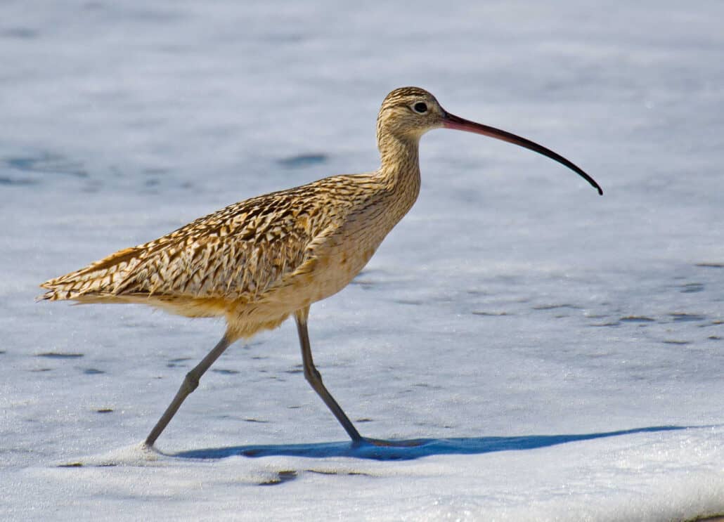
- Long-billed curlew (breeding)
- Wilson’s phalarope
- Black tern
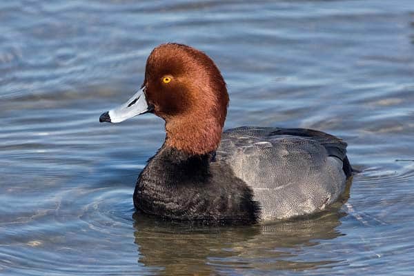
- Redhead
- Cackling goose (rare during spring migration)
- Snow goose
- American white pelican
- Swainson’s hawk (breeding)
- Osprey (breeding, largest concentration in the state)
- Burrowing owl
- Northern pygmy-owl
- Short-eared owl
- Northern harrier
- Bald eagle (breeding)
- Golden eagle
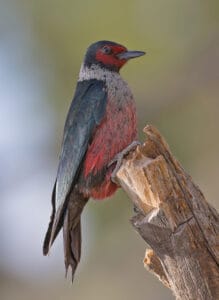
- Lewis’s woodpecker
- Nuttall’s woodpecker
- Oak titmouse
- Wrentit
- Lawrence’s goldfinch
- Vaux’s swift
- Black swift (largest colony in the state)
- Bank swallow
While there is no official bird guide or list for this specific park, Birds of the Shasta-Trinity is a basic, beginner’s reference for the area.
ECO-NOTE
The landscape is upland habitat, and contains California’s northeastern boundary of oak woodland avifauna. More than two-thirds of the area was lava flow in the recent geological past (3,000 to 5,000 years ago).
In this relatively remote area of California, water allocation conflicts continue between privately held agricultural interests and utility company hydroelectric use.
Ahjumawi Lava Springs State Park lies adjacent to and within the northern edge of Fall River Valley Area IBA.
MUST-SEE
Stone fish traps: The park’s namesake, the Ahjumawi, one of 11 autonomous bands of the Pit River Tribe, still live in the area. Their ancestors built rock fish traps for catching food and ensuring protected spawning pools. You can view these near the shoreline of the Crystal Springs Campground.
Also, take a hike (in stable footwear) along the Spatter Cone Loop Trail to see an actual spatter cone and lava tubes. The former is the quintessential landform volcanic shape created by lava exploding from a vent. The latter are conduits for the lava flows of just a few thousand years ago.
WHERE TO STAY
There are nine campsites in the park: three each at Ja She Creek, Crystal Springs, and Horr Pond. Each location has pit toilets, fire rings, and close access to hiking trails. There is no potable water in the park, and some sites have little or no shade. Stays are first-come, first-served, with honor system envelopes. For a more comfortable camping experience, conduct nightly tick checks and bring bug spray—lots of it. With the vast stretches of water come swarms of mosquitoes.